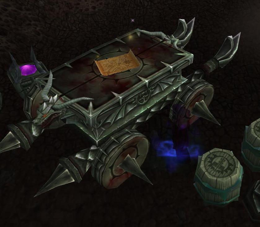
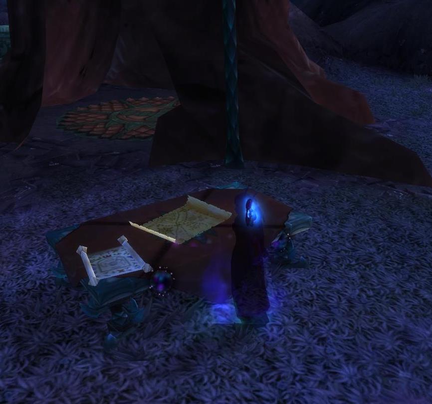
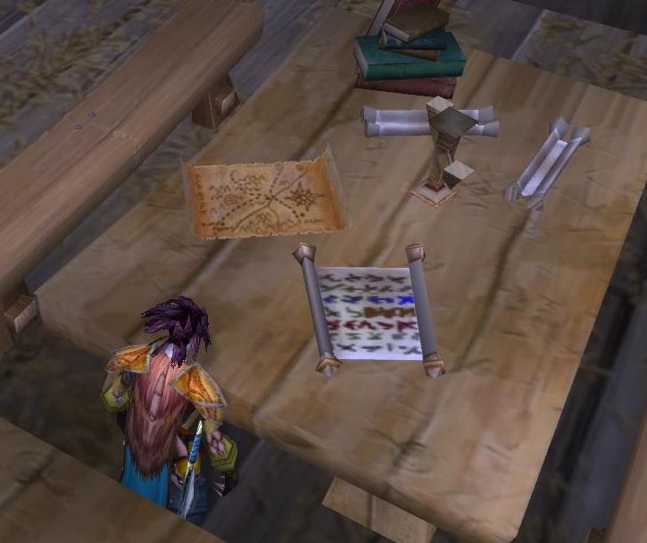
Back once more to the world of Warcraft: this happens to be one of the first maps I ever noticed in a game. Probably there since the game’s launch, I first noticed it on a disputed border between The Barrens and Ashenvale in Kalimdor.
I once assumed that this map might depict the Warsong Gulch battleground, or Kalimdor’s notoriously battle-torn Crossroads settlement. In truth it doesn’t seem to depict anywhere specific in the world, which makes it a fairly flexible asset for use all over Azeroth.
The map is hastily drawn, and seems to fit an orcish style of battle plan in particular. It also appears in a number of locations associated with the Twilight’s Hammer sect. The land it depicts is mountainous, and is crossed by tributaries which join at a settlement. Assuming that the compass rose depicts north (as it does in the game’s regional maps), this places a lake or pond to the west of this unnamed settlement. There are also two facilities to be seen at the south-west and south-east: either lumber mills or some other sort of production facility.
Taken at various points throughout my playing the game, with shots depicting my Forsaken rogue and Sin’dorei priestess.


