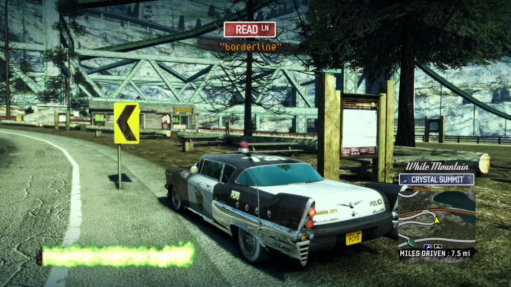
In an area defined by curving, uphill climbs, in the shadow of a stupendously large box girder railway bridge, is Read Lane. This alpine stretch of road features few landmarks, but has a proliferation of information boards. These maps, framed on great wooden piles, seem desperate to tempt Burnout‘s non-existent drivers — to stretch their legs and take in some fresh air on the Trail of the Cedars near Avalanche Lake.

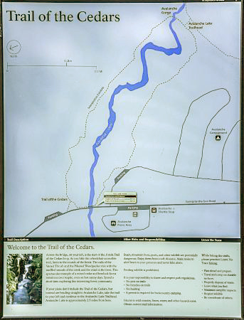
Indeed, the same information board appears at least a dozen times at the roadside in this part of Silver Lake, as one winds one’s way up White Mountain. They remind us quite effectively that we are driving inside the bounds of a national park, however they don’t illustrate any actual part of Paradise City. In truth, this slightly janky map depicts a real hiking trail, in the National Glacier Park in Montana, USA.

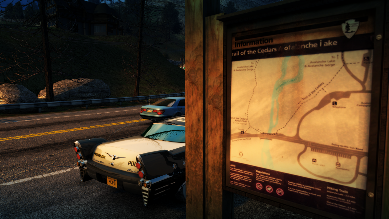
It’s not clear why the information board’s typography is offset so — though errors like that are common amongst the maps we dig up on Maps in Games! Its title has been altered in a decidedly odd manner though, reading as “Trail of the Cedars / ofalanche iake [sic.]”. Other details remain in tact: from the main thoroughfare of the very real Going-to-the-Sun Road to the position of the trail’s car parks, and the siting of a telephone where there is in fact a Ranger’s Lodge. The in-game map even features a colour-shifted version of the U.S. National Parks Service’s logo, to my surprise.
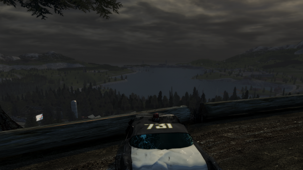
Whilst Read Lane doesn’t feature any such hiking trail — nor cedars, as far as I can tell — it does feature a campsite with panoramic views over Silver Lake, accessible by car at Vista Point. One can also gain access to the freight railway here, with rollercoaster jaunts up and down the box girder- and suspension bridges. One can also continue north, eventually meeting the road to Crystal Summit Observatory.

Taken while playing “Burnout Paradise Remastered” on Xbox Series X. I don’t know whether this same map appears in the original “Burnout Paradise” or not, but I’d be interested to find out!

